Wednesday, December 5, 2012

Afghanistan in the Future


The fear of climate change has been getting more and more attention over the past two decades, but I believe that this has happened before in Earth’s history as part of its ever changing environment.  Geographers have determined that the Earth does in fact go through a cycle of heating and cooling, and the Earth is currently moving out of a cold period.  Part of transitioning to a warmer period is the melting of the Earth’s glaciers, which is happening in places like 
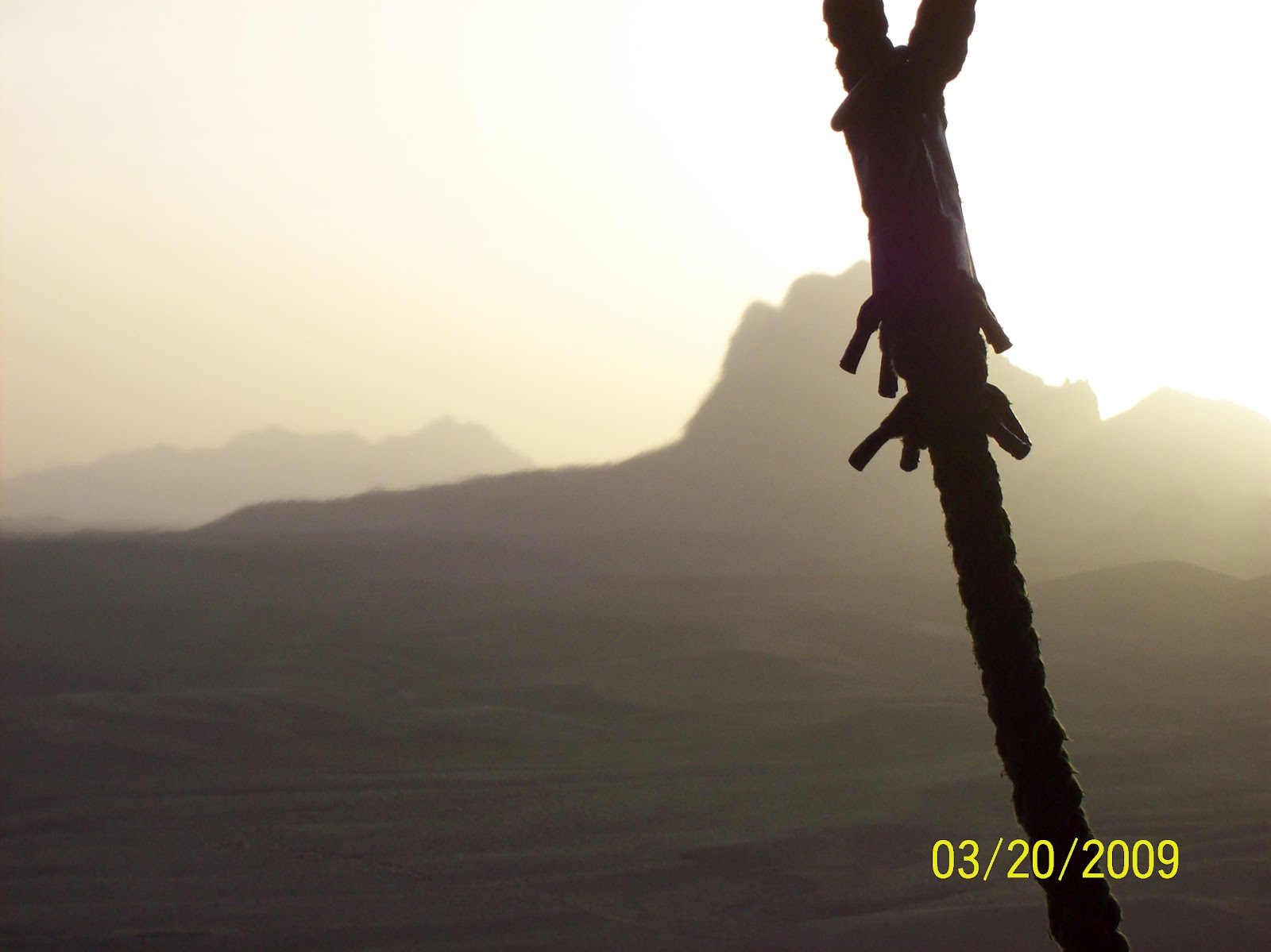
Afghanistan.  With the retreating glaciers in mind I will hypothesize on what will happen to Afghanistan’s geography over the next 1,000 years, 10,000 years, and 100,000 years.

Hypothesis:  1,000 years is a very long time in regards to a human’s life time, but when it comes to Earth’s life time, 1,000 years isn’t such a big deal.  I believe there will still be significant changes in places like Afghanistan, and one of the greatest changes will be the melting of Afghanistan’s glaciers in the Wakhan Corridor and in other regions of the Hindu Kush.  In 1,000 years most of the 30 glaciers in the Wakhan Corridor will be gone, with maybe one or two remaining, but those will be gone soon.  Glacial lakes will form high in the mountains close to where the glacier had stopped and started to recede.  There will be very few areas of snow, called “snow cups”, that last year round.  The streams that carry the winter run off, that the Afghans rely on for irrigation, will grow into much larger and quicker moving streams due to the addition of the glacial runoff.  The valleys that benefit from the runoff water will see an increase of vegetation, for a short time before the water disappears completely.

Currently 28 of the 30 glaciers in the Wakhan Corridor are receding at an average of 36 feet per year.[1]  Even at this rate it would still take almost 500 years for some of those 30 glaciers to melt completely due to their enormous size.  The increased runoff will keep the river valleys green, but as they do now these streams and rivers will eventually evaporate in the salt flats of western Afghanistan. 


Arrows are pointing at new Glacial Lakes in the Hindu Kush, formed from glacial melting between 2000 and 2007


Hypothesis:  In 10,000 years Afghanistan’s geography will have significantly changed, and it’ll be for the worst.  By this time Afghanistan’s glaciers will only be a memory, and along with them all the water the glaciers held.  Mass Wasting and erosion will dominate the more semi arid regions, while the large deserts will continue to be deserts.  Despite the Mass Wasting and erosion the mountains will be taller and more jagged than they already are.  There will be very few plant and animal species able to live in this environment.

Because the Hindu Kush Mountains are mostly granite, grus will flush down the steep mountain sides, leaving behind large “stone gardens” of rounded and smoothed core stones.  With the last millimeters of moisture, Frost weathering and Expansion and Contraction weathering will contribute to the erosion.  Because of the mountains high mineral content, Salt weathering will also take place.  The Hindu Kush was formed around 70 million years ago when the Indo-Australian Plate collided with the Eurasian Plate.[2]  The convergent boundary formed by this collision will continue to push the mountains higher while erosion makes the peaks steeper and more jagged.


Hypothesis:  I can’t begin to understand how long 100,000 years is, and I don’t think any humans will be around to see what Afghanistan looks like in that amount of time.  There will be no moisture of any kind, no vegetation, and no organism will be able to survive in the environment.  Extremely tall spires will stretch 30,000 feet into the sky surrounded by sand for as far as you can see.  So, kind of like the landscape for the 1984 movie “Dune” mixed with the Atacama Desert. 
It’s a cynical way to look at the future of Afghanistan, but who really knows for sure what will happen in 100,000 years.  We do know that the glaciers are melting, temperatures are getting higher, and less moisture is falling from the skies.  Because of erosion, mass wasting and lack of water in the future, Earth will look more like Mars, let’s just hope that the human species has found a way to create an ozone around mars so we can live there until Earth changes cycles again and once again becomes inhabitable.


[1] Haritashya,; Bishop, Shroder, Andrew, Bush, Bulley (2009). "Space-based assessment of glacier fluctuations in the Wakhan Pamir, Afghanistan" (PDF). Climate Change 94 (1–2): 5–18.

Monday, November 12, 2012

Weather Patterns

Afghanistan has a harsh continental type climate with very dry conditions.  To the west and south, in the lower elevation areas of the country it can easily reach 110 degrees Fahrenheit in the summer.  In the winter this same region can drop below freezing, but to the north and east where Afghanistan is dominated by mountains, the high elevation can cause temperatures to drop below zero degrees Fahrenheit.


Afghanistan experiences large variance in temperature from region to region, for example in some parts of the country it is not uncommon to see 80 degree temperature changes in a 24 hour time frame. 


Afghanistan receives little to no precipitation from June til October.  The mountains in the southeast prevent the summer monsoons from India from reaching Afghanistan, leaving much of the southern part of the country in arid to semi arid desert conditions.  The yearly rainfall in this area occurs from December to May bringing on average less than 8 inches each year.  In higher elevations snow will fall from December to March, in some mountainous areas in the northeast the average winter snow pack can get deeper than 100 inches.


Because of its lack of rainfall Afghanistan relies heavily on the winter snow pack thawing in the spring to provide water for drinking and growing crops.

The Afghans experience some of the harshest weather conditions on the planet every year, battling heat stroke and dehydration in the summer, while also avoiding frostbite and hypothermia in the winter.   


Wednesday, October 10, 2012

River Basins

There are four major drainage systems in Afghanistan; the Amu Darya, Harirud, Helmand and Kabul.  Of these four the Kabul drainage is the only to reach the ocean.


The Amu Darya originates in the glaciers of the Pamirs Mountains and drains into the Northern and Northeastern areas of the country stretching 1,578 miles long.  The Amu Darya is the boundary between Afghanistan and the countries of Tajikistan and Uzbekistan for about 600 miles of the 834 mile long border.


The Harirud River Basin is responsible for the fertile valleys in the Northwest region of Afghanistan and also creates 65 miles of the 581 mile long border with Iran before it disappears in the Turkmenistan desert.  The Harirud originates in the Baba Mountains at 9,000 feet elevation.


The Helmand drainage basin dominates the Southwest at 715 miles long with many tributaries that cover over 100,000 square miles.  The Helmand empties near the Iran border into seasonal lakes that are highly saline.


Like all of these drainages the Kabul River is almost completely supplied by summer run off water from the melting snow in the mountains.  The Kabul river is about 434 miles long and supplies the Southeast region of Afghanistan. 

Wednesday, September 19, 2012

The Hindu Kush Mountain Range


Area of Hindu Kush on Afghanistan and Pakistan border

            Around two-thirds of Afghanistan is covered by the Hindu Kush mountain range that stretches from the north east to the south west of the country.  The Hindu Kush is a sub-range of the Himalayan Mountains that formed about 70 million years ago as the Indo-Australian Plate collided with the southern regions of the Eurasian Plate.[1] 
 
The elevation of the Hindu Kush reaches 24,580 feet at mount Nowshak in the north east and gradually declines as it moves toward the south west. Amu Darya is the lowest point in Afghanistan at 846 feet above sea level.[2]  These mountains contain mostly sedimentary and metamorphic rock that rises one fifth of an inch every year from the convergence of the two plates.[3]


The erosion caused by wind and the melting of snow in the spring creates a fine clay soil that is found in the valley floors of eastern Afghanistan.  Because the average rain fall in spring is typically less than 100 mm[4] the snow melt and run off is the primary source of water in the Hindu Kush region.  The run-off water created by the melting snow in spring can also cause serious damage in the form of flooding if the temperature rises too quickly in the early spring months.
 
Because of the Hindu Kush’s location near the convergence area of the Indo-Australian and Eurasian plates it is regularly hit by large earthquakes.  In recent earthquakes, damage was not only caused by strong ground shaking and surface rupture but also from landslides and liquefaction of the soil.[5]  Two of the most recent earthquakes that have originated from the Hindu Kush Mountains happened in March of 2002, both measuring 7.4 and 6.1 on the Richter scale with over 700 homes destroyed and more than 150 deaths.[6]
Near Tora Bora


[1] http://epod.usra.edu/blog/2011/02/hindu-kush-mountains-of-afghanistan.html
[2] http://en.wikipedia.org/wiki/Geography_of_Afghanistan#Mountain_systems
[3] http://epod.usra.edu/blog/2011/02/hindu-kush-mountains-of-afghanistan.html
[4] https://ronna-afghan.harmonieweb.org/Pages/GeographyandClimateofAfghanistan.aspx
[5] http://pubs.usgs.gov/fs/2005/3038/508fs3038.html
[6] http://en.wikipedia.org/wiki/2002_Hindu_Kush_earthquakes

Monday, August 27, 2012

Introduction

Sun rise in Southern Afghanistan from the back of my helicopter as we're
flying home after a mission.
My name is Kurtus Koklich and I'm starting my third year at the University of Colorado Denver majoring in Psychology with a minor in Pre-law.  I've spent the majority of my life living in Colorado but I've just moved back to Denver in the past year after spending the previous six years in the Army.  While in the Army I was able to travel a lot and see many different places that most people would never be able to see, or want to see.  I was a Flight Engineer for the Special Operations Aviation Regiment, basically a "door gunner", which I believe makes my vantage point of the places I've seen special compared to being on the ground.  I've chose to study the physical geography of Afghanistan because of its extreme and ever changing weather conditions and rugged terrain.  Spending close to two years in Afghanistan has left a pretty negative personal view of the country in my mind, so I'm hoping that looking at it in a different way might change my opinion.  Afghanistan's physical geography covers just about everything, extreme heat and cold, huge mountains and rolling deserts, and some of the harshest living conditions imaginable.  The people who live and survive in Afghanistan are easily some of the toughest people on the planet because of the extreme conditions in the country, and I respect that more and more.  I've seen many different places from the window of a helicopter, most of the United States, Europe and parts of Africa, but none of these places have the rugged beauty or inherent danger of Afghanistan.  

Sun rise in north east Afghanistan January 2011